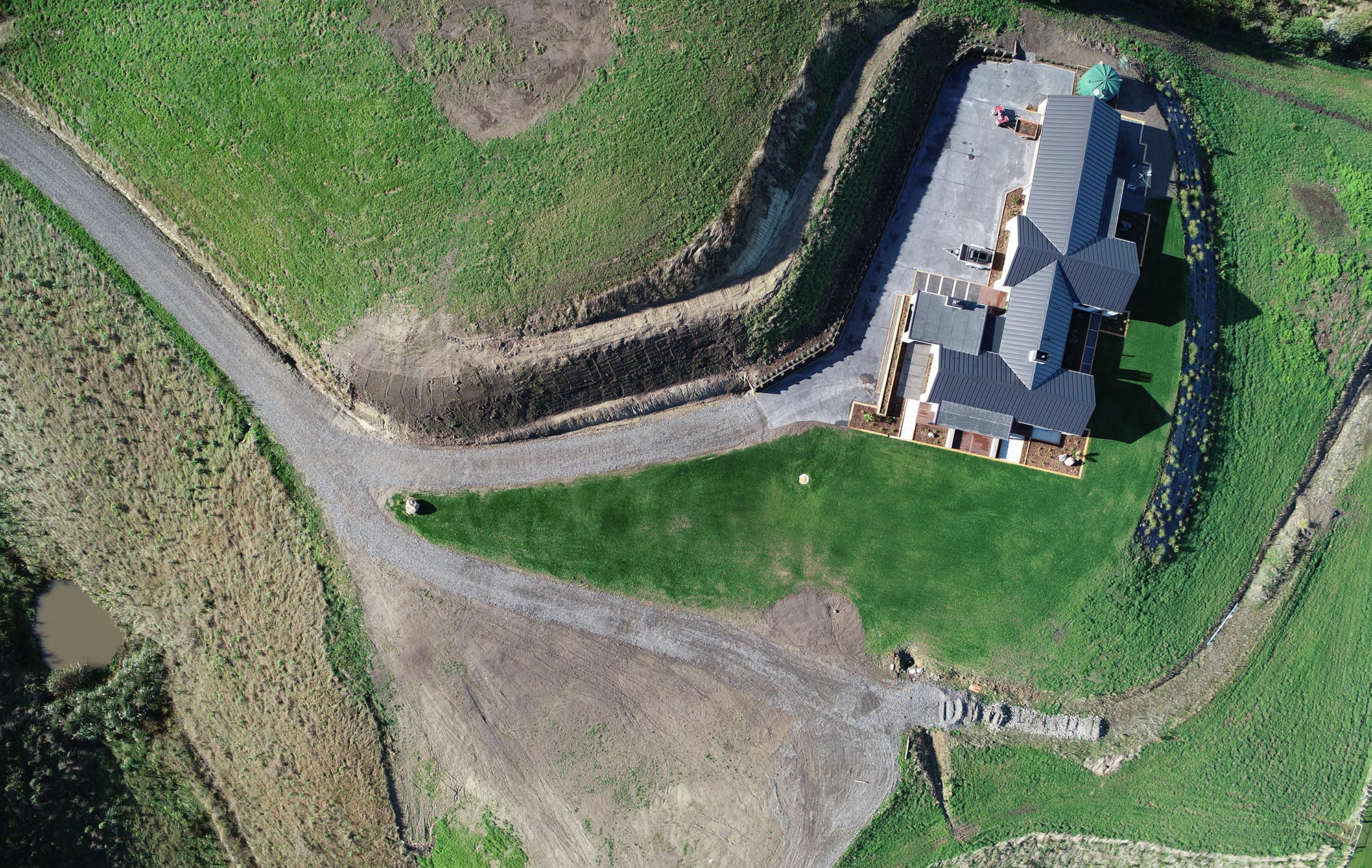
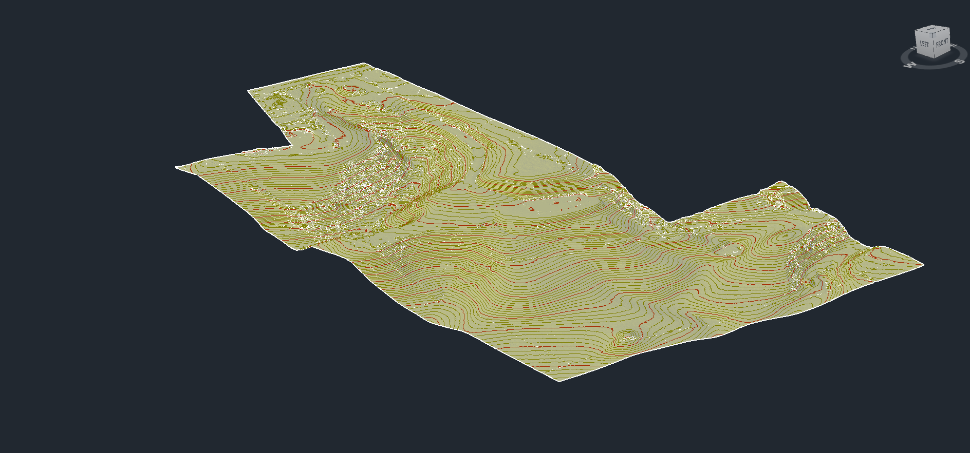
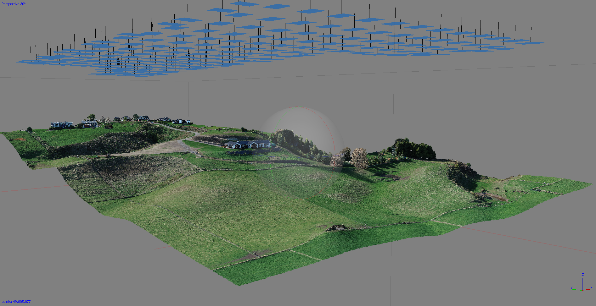
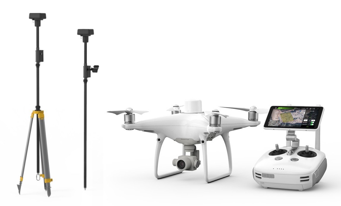
CD Surveys provides comprehensive aerial survey services for sites ranging from your small-town property through to large rural blocks (+250 hectares). CD Surveys utilise the “sister company” Central Districts Aerial Surveys (CD Aerials) to undertake aerial surveys.
CD Aerials utilise RTK GPS UAV technology which enables the generation of highly accurate imagery and models quickly and efficiently without the use of ground control. This technology also allows for operation in hazardous environments (eg, rugged coastal areas, quarries) where survey accurate results can be achieved while avoiding terrain associated risks.
UAV services offered:
- Orthometric imagery
- Digital Terrain models (DTM), point clouds, contours
- Aerial video and photography


