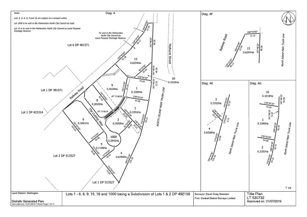
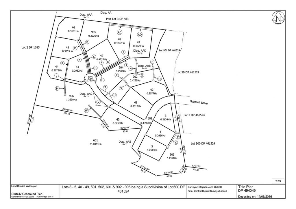
Whether you’re subdividing off the back of your section, adjusting a boundary or want to develop a new site CD Surveys and our Licensed Cadastral Surveyors can undertake and lead you through this subdivision process.
The subdivision process involves Local Authorities, resource consent and land use consents, engineering and construction, compliance and a Licensed Cadastral Surveyor to verify plans and documents submitted to Land Information NZ (LINZ).
Land surveying services
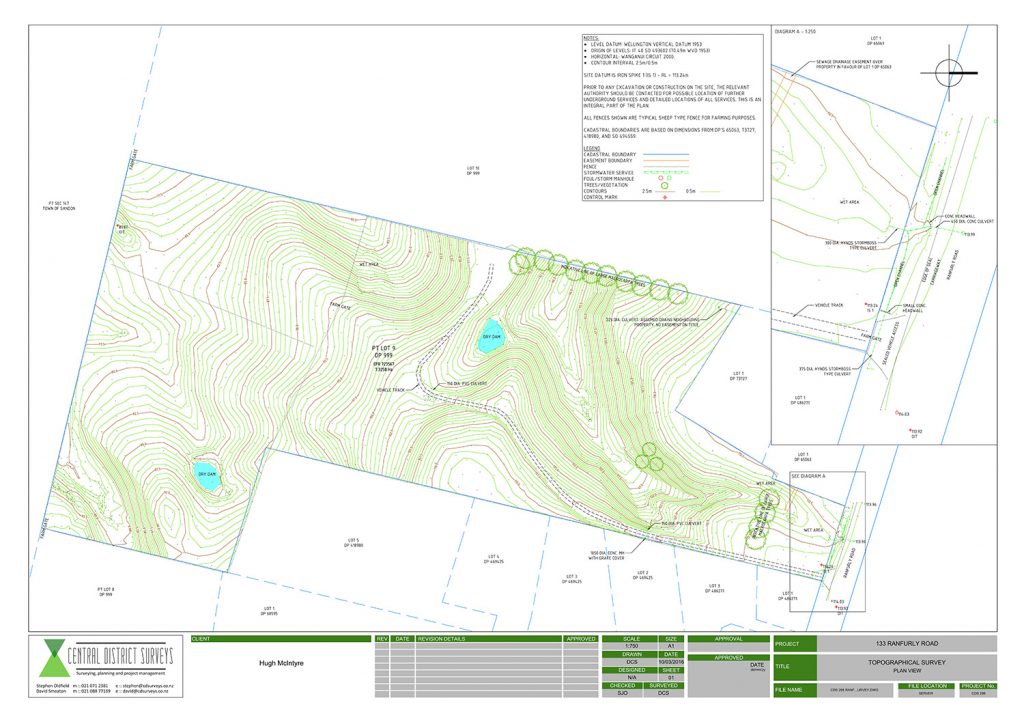
Topographical/Site surveys
Accurate depiction of ground features and contours provide a sound basis for design. CD Surveys can provide the topographical information necessary for sound decision making as your project progresses. Plans including CAD files can be provided in various formats to your architect or engineer for them to build upon.
Building and construction setout surveys
Survey accurate positioning of your design, whether it is a new dwelling, or a new road, will ensure that your construction goes ahead respecting boundary offsets and design levels.
As built surveys
The survey of the location of as constructed infrastructure for the purpose of compliance and feature location for integration into GIS systems.
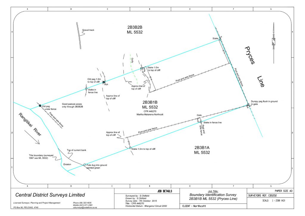
Boundary identification surveys
Whether you’re building a fence or constructing a new house or garage knowing where your property boundary is essential to this process. CD Surveys will undertake the necessary research and calculations in order to locate your boundary according to its originally surveyed position. Where old boundary pegs are not located CD Surveys can place temporary marks accordingly, or, if requested, place legal boundary pegs and undertake the necessary legal recording of the new pegs using a plan lodged with Land Information New Zealand (LINZ).
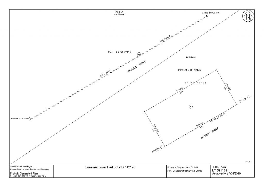
Easement surveys
Many drains and services have been installed without any legal protection safeguarding them for the future. CD Surveys can arrange for your service to be located and surveyed in order for the essential legal protection to be created.

